Despite its name, the Indian River is not a river at all. It is a lagoon — a long, narrow, shallow body of brackish water running parallel to the Atlantic coast of Florida, separated from the open ocean by a chain of barrier islands. At 156 miles in length, the Indian River Lagoon stretches from the Ponce de León Inlet near New Smyrna Beach in Volusia County southward to the Jupiter Inlet in Palm Beach County. It is the longest barrier-island estuary in North America, and it is recognized by scientists and conservation organizations as the most biodiverse estuary on the continent. More than 4,300 species of plants and animals make their home in or around its waters. St. Lucie County sits at the approximate geographic center of this extraordinary system, and the lagoon has shaped every chapter of the county’s history — from the Ais people who fished its waters for millennia to the modern communities that line its shores today. Understanding the Indian River Lagoon is essential to understanding St. Lucie County, because the two are inseparable.
Not a River: Understanding the Lagoon
Definition: Estuary
An estuary is a partially enclosed coastal body of water where freshwater from rivers and streams meets and mixes with saltwater from the ocean. Estuaries are among the most productive ecosystems on Earth, serving as nurseries for fish and shellfish, filtering pollutants, buffering coastlines from storm surges, and supporting extraordinary biodiversity. The Indian River Lagoon is classified as a bar-built estuary, meaning it is separated from the Atlantic Ocean by barrier islands rather than by a river delta.
The confusion embedded in the name “Indian River” has persisted since the earliest days of European settlement. To a casual observer — particularly someone traveling along the waterway by boat — the lagoon does resemble a river. It is long and narrow, in many places no more than a mile or two wide, and it runs in a generally north–south direction behind the barrier islands. But the Indian River Lagoon lacks the defining characteristic of a river: it is not fed by a single upstream source flowing in one direction toward the sea. Instead, the lagoon receives freshwater from numerous small tributaries, creeks, and canals along its length, and its connection to the Atlantic Ocean comes through a handful of inlets — natural and artificial openings in the barrier island chain that allow tidal exchange between the lagoon and the sea.
In St. Lucie County, the lagoon system includes the Indian River proper, the St. Lucie River, and the St. Lucie Inlet, which connects the southern portion of the lagoon to the Atlantic Ocean near the boundary of St. Lucie and Martin Counties. The St. Lucie Inlet is one of the lagoon’s most important tidal connections, allowing ocean water to flow into the estuary and maintaining the salinity levels that many of the lagoon’s species depend upon. The interplay between fresh and salt water is what defines an estuary, and it is this mixing zone that makes the Indian River Lagoon so ecologically productive. For a deeper examination of the geological forces that created these barrier island systems and the lagoon itself, see Florida Geology.
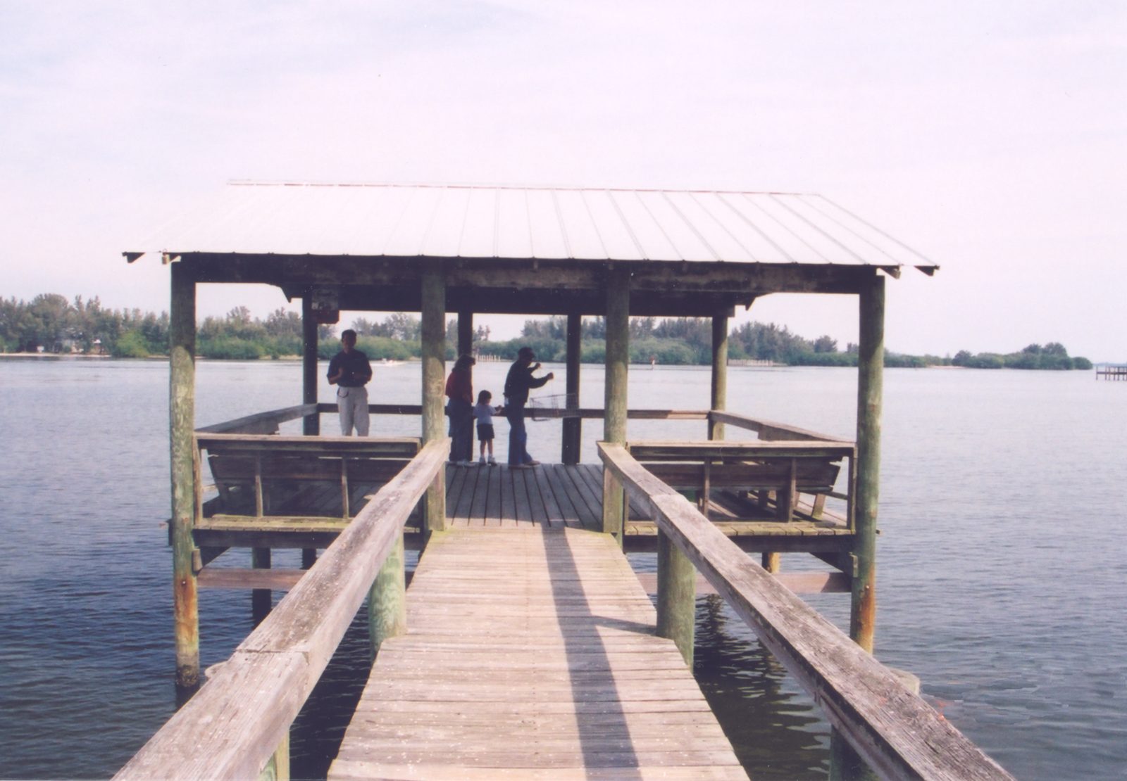
The lagoon is shallow throughout its length — averaging only three to five feet in depth — and its waters range from nearly fresh in areas near tributary mouths to fully marine near the inlets. This shallow depth allows sunlight to penetrate to the bottom, supporting extensive beds of seagrass that serve as the foundation of the lagoon’s food web. The seagrass beds provide habitat for juvenile fish, crabs, shrimp, and other invertebrates, and they are essential foraging grounds for manatees, sea turtles, and wading birds.
Biodiversity Beyond Compare
The Indian River Lagoon’s distinction as the most biodiverse estuary in North America is not merely a superlative. It is a fact documented by decades of scientific research. The lagoon is home to more than 4,300 species of plants and animals, including over 2,200 animal species and approximately 2,100 species of plants. This extraordinary richness is a consequence of geography: the Indian River Lagoon straddles the biogeographic transition zone between the temperate ecosystems of North America and the tropical ecosystems of the Caribbean. Species from both climatic zones overlap here, producing a density of life found nowhere else on the continent.
The lagoon’s waters and surrounding habitats support more than 700 species of fish, at least 310 species of birds, and 36 species of mammals, including the Florida manatee (Trichechus manatus latirostris), a federally protected species that relies on the lagoon’s warm, shallow waters and seagrass beds. The lagoon is also home to the Atlantic bottlenose dolphin, the American alligator, and several species of sea turtles that use the barrier islands for nesting. Among the plant species, mangroves dominate the shoreline in many areas — red mangrove, black mangrove, and white mangrove create dense coastal forests that stabilize the shoreline, filter runoff, and provide critical nursery habitat for fish and crustaceans. For a comprehensive treatment of these ecological systems, visit Treasure Coast Ecosystems.
The seagrass beds of the Indian River Lagoon are among its most ecologically important features. Seven species of seagrass grow in the lagoon, including shoal grass, manatee grass, and turtle grass. These underwater meadows are the base of the food web, converting sunlight into plant biomass that feeds everything from sea urchins to manatees. They also produce oxygen, filter sediments, and stabilize the lagoon bottom against erosion. The health of the seagrass beds is widely regarded by scientists as one of the best indicators of the lagoon’s overall ecological condition — and as discussed below, the dramatic loss of seagrass in recent decades has been one of the most alarming signals of environmental distress in the system.
The Lagoon in Human History
The Indian River Lagoon’s role in human history predates written records by thousands of years. The Ais people, who inhabited the lagoon’s shores from approximately Cape Canaveral south to the St. Lucie Inlet, built their entire civilization on the resources of the estuary. The Ais were not farmers; they were fishers, hunters, and gatherers who drew sustenance from the lagoon’s abundant fish, shellfish, sea turtles, and other marine life. Their enormous shell middens — accumulated deposits of oyster and clam shells discarded over centuries of habitation — still mark the landscape of St. Lucie County and stand as monuments to a people who thrived on the lagoon for at least two millennia before European contact.
Spanish explorers encountered the Indian River Lagoon in the sixteenth century as they charted the coast of the Florida peninsula. Pedro Menéndez de Avilés, who founded St. Augustine in 1565, dispatched expeditions southward along the coast and made contact with the Ais chiefdom. The lagoon’s protected waters offered shelter from the open Atlantic, and Spanish sailors used the waterway as a navigational reference and a corridor for small-boat travel along the coast. The Spanish referred to the waterway as “Río de Ais” — the River of the Ais — acknowledging the indigenous people who controlled its shores.
In the nineteenth century, before the arrival of the railroad, the Indian River Lagoon served as the primary transportation highway for the settlers who began establishing homesteads along the coast. Goods, mail, and passengers moved by steamboat and sailboat along the lagoon’s calm, sheltered waters. The journey from Titusville in the north to settlements in what would become St. Lucie County could take days by boat, and communities along the lagoon developed in direct relationship to the waterway’s accessibility. Henry Flagler’s Florida East Coast Railway, which reached the region in the 1890s, eventually supplanted the lagoon as the primary transportation corridor, but the waterway remained central to local commerce, fishing, and recreation. For the broader history of Fort Pierce’s waterfront along the lagoon, see The Fort Pierce Annals.
The Indian River Name and the Citrus Trade
The name “Indian River” became far more than a geographic label in the late nineteenth and early twentieth centuries. It became a brand — one of the most valuable in American agriculture. Citrus growers along the lagoon discovered that the unique microclimate created by the water body produced oranges and grapefruit of exceptional quality. The Indian River Lagoon’s moderating thermal influence protected groves from frost, while the sandy, well-drained soils and the warm, humid air produced fruit with thin skins, high juice content, and intense sweetness.
“Indian River citrus” became synonymous with premium quality, commanding higher prices in northern markets than fruit grown in Florida’s interior. The Indian River Citrus District, formally recognized by the State of Florida, encompassed the counties along the lagoon, and St. Lucie County was at its core. Groves spread across the landscape west of the lagoon, and the citrus industry became the economic engine of the county for much of the twentieth century. Packing houses, shipping operations, and agricultural supply businesses lined the towns along the Indian River corridor. The lagoon’s name, once applied by early cartographers to a waterway they mistakenly believed was a river, had become one of the most recognized agricultural appellations in the country. For more on the agricultural transformation of the region, see our article on Pineapple Plantations of the Indian River, which details the crop that preceded citrus as the dominant industry along the waterway.
Environmental Challenges
The Indian River Lagoon’s ecological health has deteriorated significantly since the mid-twentieth century, and the environmental challenges facing the estuary have become a defining issue for St. Lucie County and the entire Treasure Coast. The lagoon’s problems are numerous, interconnected, and severe. Scientists, government agencies, and conservation organizations have identified a constellation of threats that, taken together, represent one of the most serious environmental crises affecting any estuary in the United States.
Among the most visible and damaging of these threats are harmful algal blooms. The lagoon has experienced recurrent episodes of brown tide, caused by the microscopic alga Aureoumbra lagunensis, and devastating blooms of blue-green algae (cyanobacteria) that have periodically turned the water into a thick, foul-smelling green mat. These blooms are fueled by excess nutrients — primarily nitrogen and phosphorus — that enter the lagoon from multiple sources: agricultural runoff carrying fertilizer residues, urban stormwater carrying lawn chemicals and pet waste, leaking septic systems, and wastewater treatment plant discharges. When nutrient levels spike, algae populations explode, blocking sunlight from reaching the seagrass beds below.
The loss of seagrass has been catastrophic. Between 2011 and 2012, the Indian River Lagoon lost an estimated 47,000 acres of seagrass — roughly 60 percent of its total coverage — during a series of intense algal blooms that created a “superbloom” event. Without seagrass, the foundation of the lagoon’s food web collapsed in affected areas. The consequences rippled up the ecosystem: fish populations declined, manatees starved, and water quality deteriorated further as the stabilizing effect of seagrass on sediments was lost. The manatee die-off that followed the seagrass loss drew national attention to the lagoon’s plight, as hundreds of manatees perished from starvation in the Indian River Lagoon system and adjacent waterways.
Freshwater discharges from Lake Okeechobee have compounded the lagoon’s problems, particularly in the St. Lucie County portion of the system. The St. Lucie Canal, also known as the C-44 Canal, connects Lake Okeechobee to the St. Lucie River, which empties into the Indian River Lagoon near Stuart in Martin County, just south of the St. Lucie County line. When water levels in Lake Okeechobee rise — typically during the wet season or after heavy rains — the U.S. Army Corps of Engineers releases enormous volumes of freshwater through the C-44 Canal to prevent the aging Herbert Hoover Dike from being overtopped. These discharges carry nutrient-laden, sediment-heavy lake water into the St. Lucie estuary, dramatically altering salinity levels, smothering oyster beds, triggering algal blooms, and turning the normally clear lagoon waters dark and turbid. The discharges have been a source of intense controversy and political debate for decades, pitting the interests of communities along the lagoon against agricultural water management practices in the Lake Okeechobee watershed.
Conservation and the Future
The environmental crisis facing the Indian River Lagoon has galvanized conservation efforts at the local, state, and federal levels. The Indian River Lagoon National Estuary Program, established in 1990 under the federal Clean Water Act, coordinates research, restoration, and public education efforts across the lagoon’s six-county watershed. The program brings together federal and state agencies, local governments, academic institutions, and citizen stakeholders to develop and implement a comprehensive conservation and management plan for the lagoon.
In St. Lucie County, local government and community organizations have pursued a range of restoration strategies. These include converting septic systems to centralized sewer service to reduce nutrient pollution, constructing stormwater treatment areas to filter runoff before it reaches the lagoon, planting mangroves and oyster reefs to restore natural filtration and habitat, and advocating for changes in the water management policies that govern Lake Okeechobee discharges. The Florida Department of Environmental Protection has also invested in lagoon restoration through its Indian River Lagoon Protection Program, funding projects that address water quality, habitat restoration, and monitoring throughout the system.
Seagrass restoration has emerged as a central priority. Scientists from the Harbor Branch Oceanographic Institute at Florida Atlantic University, located in St. Lucie County on the lagoon’s shore, have conducted extensive research on seagrass ecology, water quality, and the biological processes that govern the lagoon’s health. Their work, along with monitoring by the St. Johns River Water Management District, has provided the scientific foundation for restoration planning. In recent years, some areas of the lagoon have shown modest seagrass recovery when water clarity improves, offering cautious hope that the system can heal if nutrient inputs are reduced.
The challenge remains enormous. Decades of development, population growth, and altered hydrology have fundamentally changed the watershed that drains into the Indian River Lagoon. Restoring the lagoon to ecological health will require sustained investment, changes in land use and water management practices, and a long-term commitment from the communities that depend on it. But the stakes could not be higher. The Indian River Lagoon is not merely a scenic amenity or a recreational resource; it is the ecological foundation upon which St. Lucie County was built. The Ais people understood this thousands of years ago. The settlers who arrived by boat along its waters understood it. The citrus growers who prospered in its microclimate understood it. The question facing St. Lucie County today is whether the communities of the modern Treasure Coast can summon the will to protect the waterway that has sustained every generation that has called this coast home.